
- About
-
Upazila Porishad
আইন শৃঙ্খলা সভার কার্যবিবরণী
Annual budget
Minutes of Upazila Committee meeting
-
Law and order committee
-
Communications and Physical Infrastructure Development Committee
-
Agriculture and Irrigation Committee
-
Secondary and Madrasa Education Committee
-
Primary Education Committee
-
Health and Family Welfare Committee
-
Youth and Sports Development Committee
-
Women and Child Development Committee
-
Social welfare committee meeting
-
Freedom Fighters Committee
-
Committee on Fisheries and Livestock
-
Rural Development and Cooperative Committee
-
Culture Affairs Upazila Committee
-
Forest and Environment Committee
-
Upazila Committee on market price monitoring, monitoring and control
-
Committee on Finance, Budget, Planning and Local Resource Development
-
Public health, sanitation and clean drinking water supply
Annual purchase plan
Information (Focal point) officer
-
Law and order committee
- Administration
-
Govt. Offices
HRD Affairs
-
Office of the Social Service Officer
-
Office of the Upazila Women Affairs Officer
-
Office of the Upazila Youth Development Officer
-
Office of the Upazila Cooperative Officer
-
Office of the Upazila Poverty Reduction Officer
-
Upazila Rural Development Officer
-
Ekti Bari Ekti Khamar Project and Polli Sonchoy Bank
-
Office of the Social Service Officer
- Different Institutions
- Gallery
- Local Newspaper
- Freelancing Training
-
About
Introduce to Upazila
History & Tradition
Geography & Economics
Others
-
Upazila Porishad
Upazila Parishad
আইন শৃঙ্খলা সভার কার্যবিবরণী
Minutes of Meeting
Annual budget
Minutes of Upazila Committee meeting
- Law and order committee
- Communications and Physical Infrastructure Development Committee
- Agriculture and Irrigation Committee
- Secondary and Madrasa Education Committee
- Primary Education Committee
- Health and Family Welfare Committee
- Youth and Sports Development Committee
- Women and Child Development Committee
- Social welfare committee meeting
- Freedom Fighters Committee
- Committee on Fisheries and Livestock
- Rural Development and Cooperative Committee
- Culture Affairs Upazila Committee
- Forest and Environment Committee
- Upazila Committee on market price monitoring, monitoring and control
- Committee on Finance, Budget, Planning and Local Resource Development
- Public health, sanitation and clean drinking water supply
Annual Financial Statements
ADP Report
Annual purchase plan
Annual Development Plan
Five Year Plan
Citizen Charter
Information (Focal point) officer
-
Administration
Organization related
Schedule & Meeting
-
Govt. Offices
Law, Disciplinary and Security Affairs
Education and Cultural Affairs
Agriculture, fisheries, livestock and food related
Health and Environmental Affairs
Engineering and Information and Communication Technology
HRD Affairs
- Office of the Social Service Officer
- Office of the Upazila Women Affairs Officer
- Office of the Upazila Youth Development Officer
- Office of the Upazila Cooperative Officer
- Office of the Upazila Poverty Reduction Officer
- Upazila Rural Development Officer
- Ekti Bari Ekti Khamar Project and Polli Sonchoy Bank
Land and Revenue Affairs
-
Different Institutions
Educational Institutions
- Gallery
-
Local Newspaper
Tarar Alo
-
Freelancing Training
Online Application Form
Training Related Letters
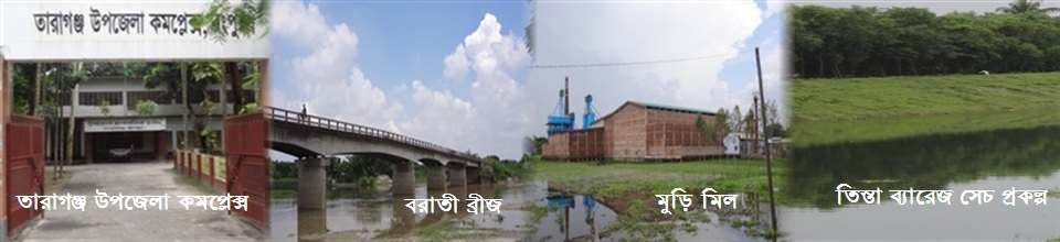
Taraganj Upazila (rangpur district) area 128.64 sq km, located in between 25°44' and 25°50' north latitudes and in between 89°07' and 89°57' east longitudes. It is bounded by kishoreganj (nilphamari) upazila on the north, badarganj upazila on the south, rangpur sadar and gangacharaupazilas on the east, saidpur upazila on the west.
Population Total 119927; male 61934, female 57993; Muslim 104417, Hindu 15491, Buddhist 3 and others 16.
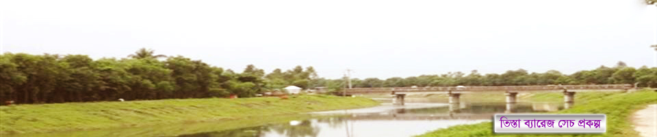
Water bodies Main rivers: Jamuneshwari, Chikli; Hatkhopa Beel is notable.
Administration Taraganj was under Badarganj thana before 1980. Taraganj Thana was formed on 1 January 1980 comprising 40 villages of Badarganj thana; it was turned into an upazila in 1984.'


Planning and Implementation: Cabinet Division, A2I, BCC, DoICT and BASIS
Technical Assistance:
![]()
Developed By:
